


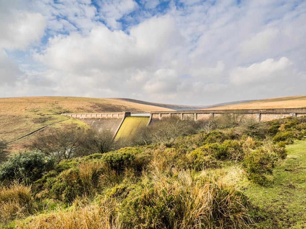
 Avon Dam and Reservoir (365, S13, pg334)
To view this item's National Grid Reference Number you need to be a subscriber. You can become a subscriber by visiting this page
Or login here if you are already a subscriber.
93 (3%) of Registered Dartefacters have visited this item. They are: Fittobust, munchers smartie, Dave Hamnett, paul glanville, Baron Baskerville, Bob Davy, Moreoutdoor, DazMan, Neil Armstrong, rachfarley, Kbworth, Cvlucas, Lynn Miller, Davemate, janet, JennyNatureWriter, Simon40, joCam, weelassie, Joy Topping, Andy R, Richard Blight, CocosCrew, David.Patrick, RVC, ChrisHaigh1206, DartmoorFromAnAutisticPerspective, mkcladi, sfuller12345, delpez, Boosh, TavyPritch, dartefact, andrewm1428, Wbarritt, Jbo, onlyonekirbs, dytaylor@tiscali.co.uk, Smiffys1975, Steve Davison, John Paver, simonb, John Deakins, Gampy, Bridgemarker Tim, nickstreet36, thegavs, Steve Hill, Chris Taylor, Sarah Buck, MegMog, Drinneevar, Beth Robotham, Sheron, Ollismark, Jollux, Partonez, LaurenceVinnels, bobfitzy62, dougster, SteveGrigg, Anne17, Amanda Ellis, Fr66, Karin B, tiamaria, Tinroofrusty, The_greenman, Max Piper, Peter Brooks, Jannergirl, johnhooper, some bloke, Pat, Dartmoor Paul, ejt211, Torbagga, Fidget, Laviefish, noisemonkey, AndyPritchard, Hadrian, Peter Caton, cburridgebarney, Paulmilsom, GlavindStrachan, haavl, walkingkj, Clanger, Itareldie, Neil Handley, JoLW, BevDickinson
This Dartefact is visited by the following walks: Miles Without Stiles: Shipley Bridge to Avon Dam (linear) , km, m ascent
 The South Brent Moorland Boundary Markers , km, m ascent

The map below is set to a maximum zoom of 1:50k. To zoom into the map further (1:25k) you need to be a subscriber. You can become a subscriber by visiting this page.
Or login here if you are already a subscriber.


