 PUDC Boundary Stone, Holne Moor, No.39 (345 m)
To view this item's National Grid Reference Number you need to be a subscriber. You can become a subscriber by visiting this page
Or login here if you are already a subscriber.
12 (0%) of Registered Dartefacters have visited this item. They are: rachfarley, Dave Hamnett, Sheron, The_greenman, SteveGrigg, dartefact, haavl, Max Piper, Dartmoor Paul, Torbagga, Fidget, Richard Blight

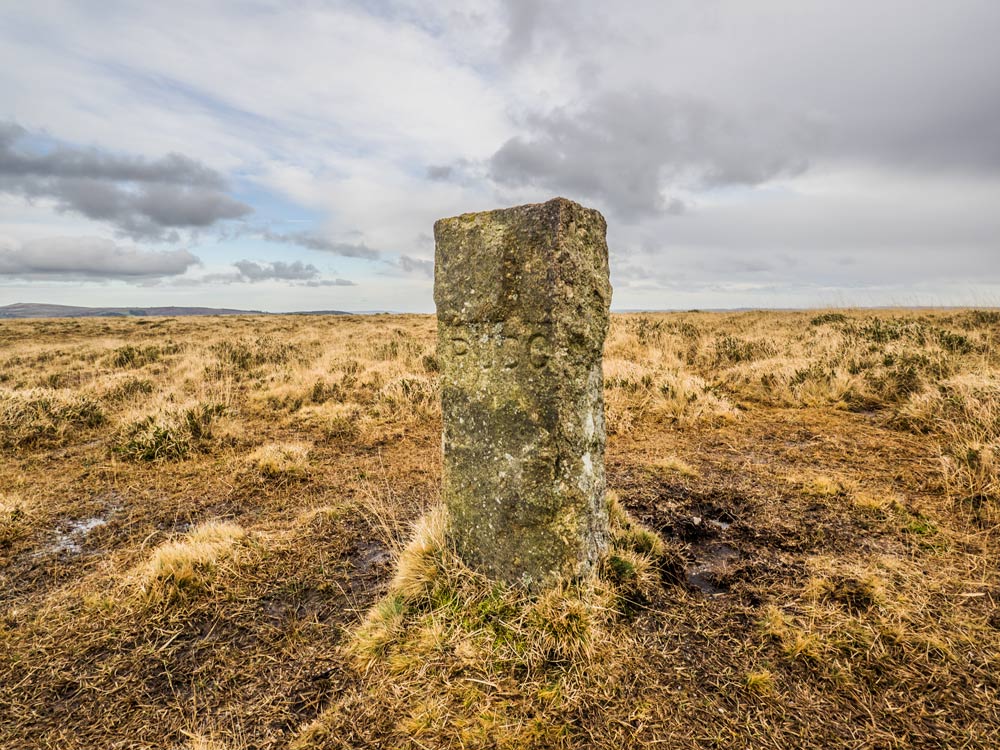
Description: This is one of the stones that mark out the boundary for the Reservoir. The reservoir was built in 1907 to provide water for Paignton. Inscribed on one side is PUDC (Paignton Urban District Council).
Reference: Dave Hamnett
The map below is set to a maximum zoom of 1:50k. To zoom into the map further (1:25k) you need to be a subscriber. You can become a subscriber by visiting this page.
Or login here if you are already a subscriber.


