




 Three Barrows (365, U12, pg356)
To view this item's National Grid Reference Number you need to be a subscriber. You can become a subscriber by visiting this page
Or login here if you are already a subscriber.
65 (2%) of Registered Dartefacters have visited this item. They are: donrover, Dave Hamnett, rachfarley, Neil Armstrong, paul glanville, Bob Davy, Moreoutdoor, Baron Baskerville, Lynn Miller, ChrisHaigh1206, Cvlucas, jeremy4444, JennyNatureWriter, Chris Taylor, Simon40, weelassie, Joy Topping, Richard Blight, Ecky, CocosCrew, Clanger, David Hocking, Doc985, simonb, Sarah Buck, John Deakins, Steve Hill, StewB, nickstreet36, WaternMan, Beth Robotham, Steve Davison, Smiffys1975, John Paver, Jbo, Wbarritt, Ollismark, johnhooper, Peter Brooks, Tinroofrusty, tiamaria, The_greenman, Karin B, Max Piper, Saltash Stamper, Drinneevar, Fr66, SteveGrigg, Neil Handley, Peter Caton, Alice1954., John Clapham, bobfitzy62, Sheron, Amanda Ellis, BevDickinson, tjcolson, Pat, Hadrian, noisemonkey, Dartmoor Paul, Torbagga, Fidget, mkcladi, DartmoorFromAnAutisticPerspective
This Dartefact is visited by the following walks: The South Brent Moorland Boundary Markers , km, m ascent
- The Ugborough Moorland Boundary Markers , km, m ascent
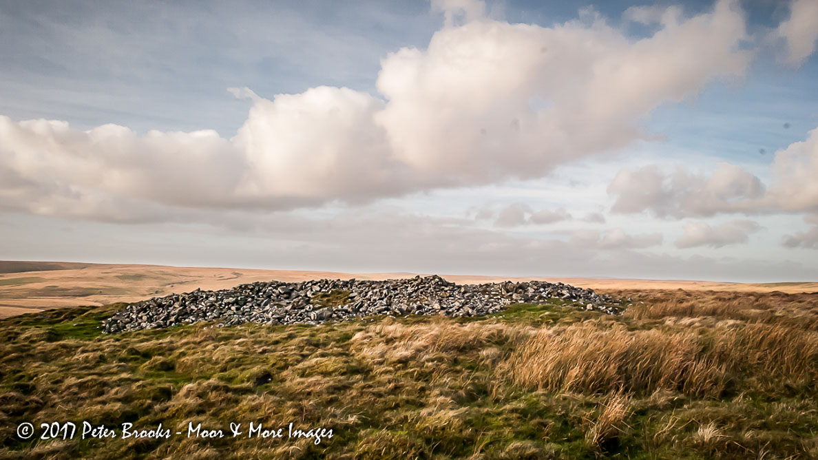
Three Barrows Tor is sometimes applied to this hill, although the name is only given on old maps. Is there a tor buried under the massive summit cairn? Quite possibly but no digging please.
Reference: The name of ‘Three Barrows Hill’ appears in Tim Sandles’ Legendary Dartmoor Gazetteer.
The map below is set to a maximum zoom of 1:50k. To zoom into the map further (1:25k) you need to be a subscriber. You can become a subscriber by visiting this page.
Or login here if you are already a subscriber.


