


 Amicombe Brook/ Water (365, H7, pg122)
To view this item's National Grid Reference Number you need to be a subscriber. You can become a subscriber by visiting this page
Or login here if you are already a subscriber.
51 (2%) of Registered Dartefacters have visited this item. They are: rachfarley, Cbdarke, Moreoutdoor, Bob Davy, Baron Baskerville, paul glanville, jeremy4444, Andy R, Simon40, JennyNatureWriter, Martin Brown, Lotti, Richard Blight, CocosCrew, mkcladi, Clanger, Fidget, Cvlucas, Doc985, simonb, Sarah Buck, John Deakins, Okehammer, delpez, nickstreet36, Wbarritt, John Paver, Joy Topping, BevDickinson, The_greenman, Peter Brooks, Karin B, Amanda Ellis, Fr66, SteveGrigg, haavl, LaurenceVinnels, Mad1, Ollismark, Sheron, Pat, bobfitzy62, dartefact, Neil Handley, Paulmilsom, Max Piper, Hadrian, Peter Caton, noisemonkey, Torbagga, Dartmoor Paul
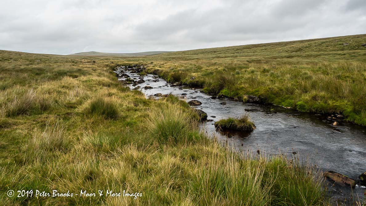
This is roughly the mid-point of the river between Cut Combe Water Foot and Amicombe Foot. It is detailed by John Hayward in Dartmoor 365.
Also known as Amicombe Water (Hemery, 1983).
The map below is set to a maximum zoom of 1:50k. To zoom into the map further (1:25k) you need to be a subscriber. You can become a subscriber by visiting this page.
Or login here if you are already a subscriber.


