 B.M. on Sampford Spiney Boundary Stone
To view this item's National Grid Reference Number you need to be a subscriber. You can become a subscriber by visiting this page
Or login here if you are already a subscriber.
6 (0%) of Registered Dartefacters have visited this item. They are: dartefact, Max Piper, Dartmoor Paul, Pat, bobfitzy62, Fidget
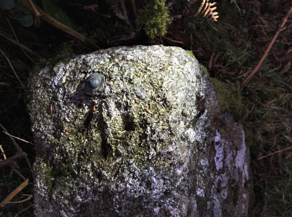
Notes: The NGR is an estimate. There is a benchmark and bolt (rivet) atop a boundary stone marking the bounds of Sampford Spiney Parish. The cut mark is marked on some Side by Side maps and can be found beside the road at the point where the Grimstone and Sortridge Leat passes underneath it.
Reference: Sheron Vowden: UK Trig Pillars and Bench Marks FB Group (2021). Photo also kindly supplied by Sheron.
The map below is set to a maximum zoom of 1:50k. To zoom into the map further (1:25k) you need to be a subscriber. You can become a subscriber by visiting this page.
Or login here if you are already a subscriber.


