


 Bowda Farmstead
To view this item's National Grid Reference Number you need to be a subscriber. You can become a subscriber by visiting this page
Or login here if you are already a subscriber.
5 (0%) of Registered Dartefacters have visited this item. They are: Pat, Max Piper, Ian Mayhew, Dartmoor Paul, Sarah Buck
Please note this plantation is on private land and that permission to visit must be sought from the landowner beforehand.
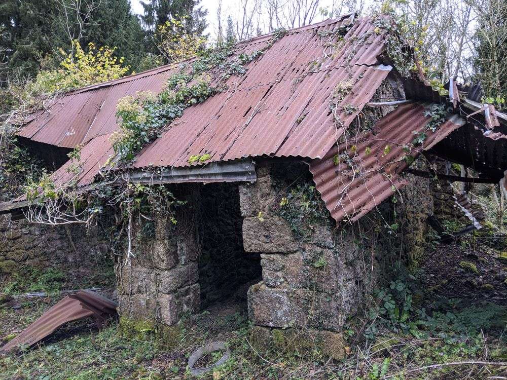
This beautiful farmstead still has some granite walls in situ as well as corrugated roofing. Look out for the ash house. Heritage Gateway (HER) mentions this ruin: “This building is depicted on the early-mid 19th century Tithe Map, although is likely to have been older. Recorded in 1991 woodland survey as being in a ruinous condition.” An old road/drive led to Bowda and is still traceable, albeit now entirely surrounded by conifer trees. Down the hill, the area opens out and this ruin lies before you.
The map below is set to a maximum zoom of 1:50k. To zoom into the map further (1:25k) you need to be a subscriber. You can become a subscriber by visiting this page.
Or login here if you are already a subscriber.


