



 Church Bridge (Buckfastleigh) ‘C’ County Stone
To view this item's National Grid Reference Number you need to be a subscriber. You can become a subscriber by visiting this page
Or login here if you are already a subscriber.
10 (0%) of Registered Dartefacters have visited this item. They are: Max Piper, Dartmoor Paul, Torbagga, Clanger, Fidget, Amanda Ellis, Bridgemarker Tim, Simon40, SteveGrigg, StewB
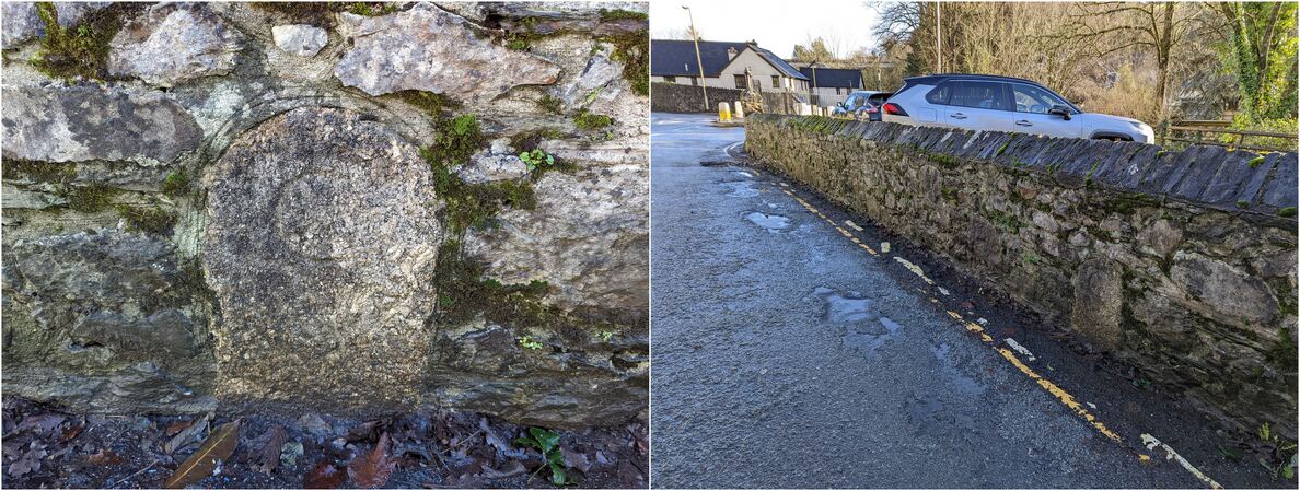
A county bridge stone about 80 metres east of Church Bridge, Buckfastleigh. It is currently incorrectly marked as a Turnpike Stone on the Devon & Dartmoor Historic Environment Record. The stone is set in a wall on the south side of the old, old road that has been bypassed twice.
Reference: Tim Jenkinson, Milestone Society.
The map below is set to a maximum zoom of 1:50k. To zoom into the map further (1:25k) you need to be a subscriber. You can become a subscriber by visiting this page.
Or login here if you are already a subscriber.


