


 Throwleigh Common Settlement
To view this item's National Grid Reference Number you need to be a subscriber. You can become a subscriber by visiting this page
Or login here if you are already a subscriber.
10 (0%) of Registered Dartefacters have visited this item. They are: Max Piper, Dartmoor Paul, Neil Handley, mkcladi, Amanda Ellis, John Deakins, dartefact, GlavindStrachan, Simon40, jellebruijnis
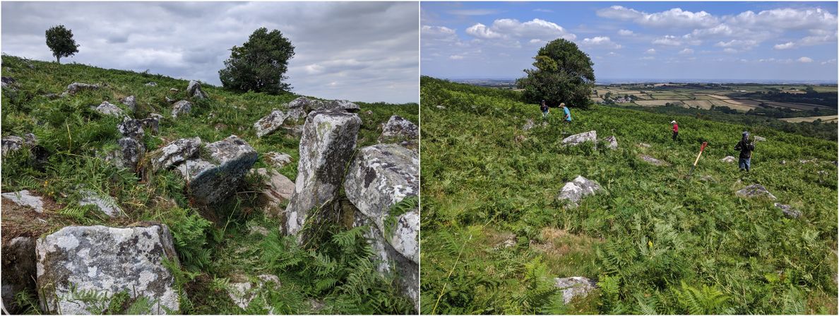
This impressive prehistoric settlement lies on the east flank of Throwleigh Common and Shilstone Hill. In the summers of 2021 and 2022, the Youth Rangers cleared bracken from the higher hut circles (including at the grid reference). Using bracken bashers to cut the bracken at the base and then rakes to organise it into piles, the intention is to slow down the rate at which the bracken is able to grow every year, meaning that it becomes easier to maintain. The STOC (Sticklepath, Okehampton and Chagford) group also do a lot of work here using strimmers, alongside Dartmoor Ranger Ian Brooker.
This is an important site on Dartmoor because it demonstrates why the huts were put here in the first place. Firstly, being high on the slope gives a defensible position, and secondly, in the Bronze Age this land would have been much easier to settle with less trees, etc. These are massive circles which have been bisected more recently by a now dry leat; this once supplied water to Bradford Pool. (MP, August 2022)
The map below is set to a maximum zoom of 1:50k. To zoom into the map further (1:25k) you need to be a subscriber. You can become a subscriber by visiting this page.
Or login here if you are already a subscriber.


