To view this item's National Grid Reference Number you need to be a subscriber. You can become a subscriber by visiting this page
Or login here if you are already a subscriber.
20 (1%) of Registered Dartefacters have visited this item. They are: ejt211, Bridgemarker Tim, Lynn Miller, Sarah Buck, CocosCrew, BevDickinson, Dartmoor Paul, mkcladi, Fidget, Torbagga, Sheron, noisemonkey, Joy Topping, Neil Handley, Max Piper, Clanger, Amanda Ellis, Pat, SteveGrigg, Fr66

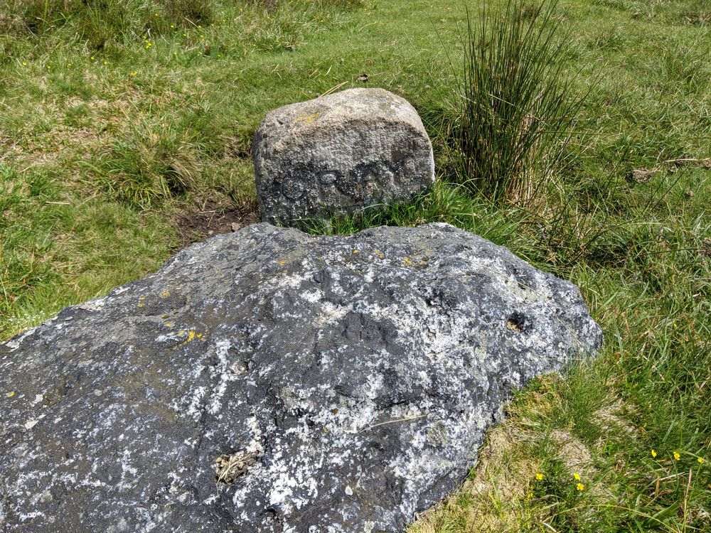
Although this stone is labelled on Ordnance Survey Maps as ‘Grey Wethers’ (not to be confused with the stone circles), it is actually inscribed ‘Gray / Weather’. On the back it is inscribed, like other Duke Stones, with ‘DS / 1854’.
This stone is at the head of the East Webburn River, a short distance below the track that runs to Hameldown Top and Broad Barrow.

The map below is set to a maximum zoom of 1:50k. To zoom into the map further (1:25k) you need to be a subscriber. You can become a subscriber by visiting this page.
Or login here if you are already a subscriber.


