



 Holne/ W Buckfastleigh – BS 11 Bourne’s Pit
To view this item's National Grid Reference Number you need to be a subscriber. You can become a subscriber by visiting this page
Or login here if you are already a subscriber.
8 (0%) of Registered Dartefacters have visited this item. They are: SteveGrigg, Max Piper, Torbagga, Dartmoor Paul, Neil Handley, Simon40, John Deakins, Fidget
This Dartefact is visited by the following walks:- The Holne Moorland Boundary Markers , km, m ascent
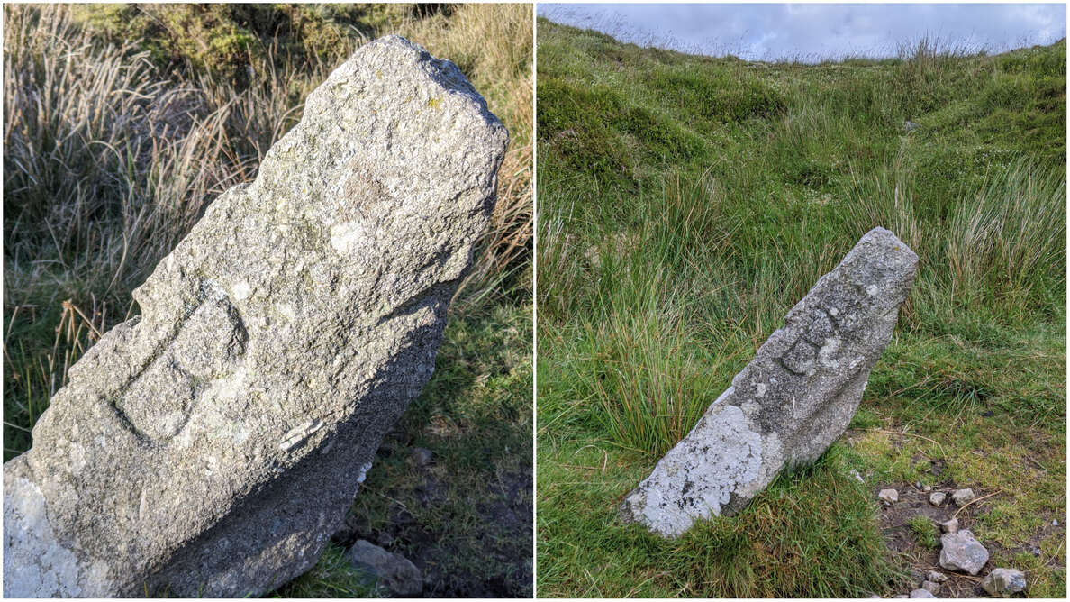
At earthwork apex. This B denotes Buckfastleigh Parish boundary which here meets that of Holne. Updated NGR courtesy of Steve Grigg.
The map below is set to a maximum zoom of 1:50k. To zoom into the map further (1:25k) you need to be a subscriber. You can become a subscriber by visiting this page.
Or login here if you are already a subscriber.
Map loading...it may take a few seconds


