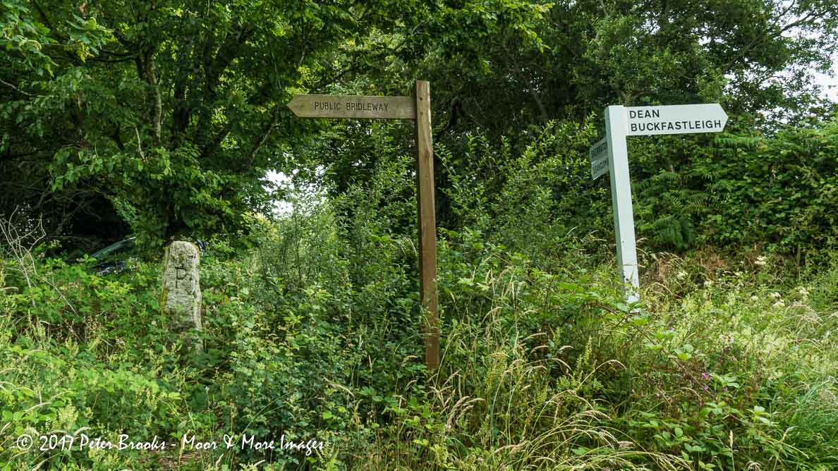
To view this item's National Grid Reference Number you need to be a subscriber. You can become a subscriber by visiting this page
Or login here if you are already a subscriber.
34 (1%) of Registered Dartefacters have visited this item. They are: Cbdarke, Dave Hamnett, rachfarley, Joy Topping, Dartmoor Paul, Laviefish, cburridgebarney, delpez, ChrisHaigh1206, CocosCrew, The_greenman, Clanger, Fidget, Sarah Buck, JennyNatureWriter, Lynn Miller, simonb, Simon40, StewB, Torbagga, Pat, Hadrian, Jamaine, Neil Handley, BevDickinson, Amanda Ellis, Sheron, Ollismark, Max Piper, Fr66, SteveGrigg, tiamaria, Karin B, Peter Brooks


Reference: Tim Ferry
The ‘A’ looks like a version of the OS Bench Mark symbol – and there is a BM indicated on the old maps at this location. T=Tavistock, A= Ashburton, T=Totnes and P=Plymouth/Plympton or Plymstock? Pointed out by Tim Ferry.

The map below is set to a maximum zoom of 1:50k. To zoom into the map further (1:25k) you need to be a subscriber. You can become a subscriber by visiting this page.
Or login here if you are already a subscriber.

 Moor Cross (TATP Waymark Stone) (365, T15, pg349)


