 Flush Bracket (OSBM) G2100, Warren House Inn
To view this item's National Grid Reference Number you need to be a subscriber. You can become a subscriber by visiting this page
Or login here if you are already a subscriber.
12 (0%) of Registered Dartefacters have visited this item. They are: Max Piper, SteveGrigg, Amanda Ellis, Fr66, Sheron, Neil Handley, Pat, Fidget, bobfitzy62, Rob1985, Torbagga, John Deakins

Notes: Coated in cream (or white) paint.
Reference: Bench Mark Database
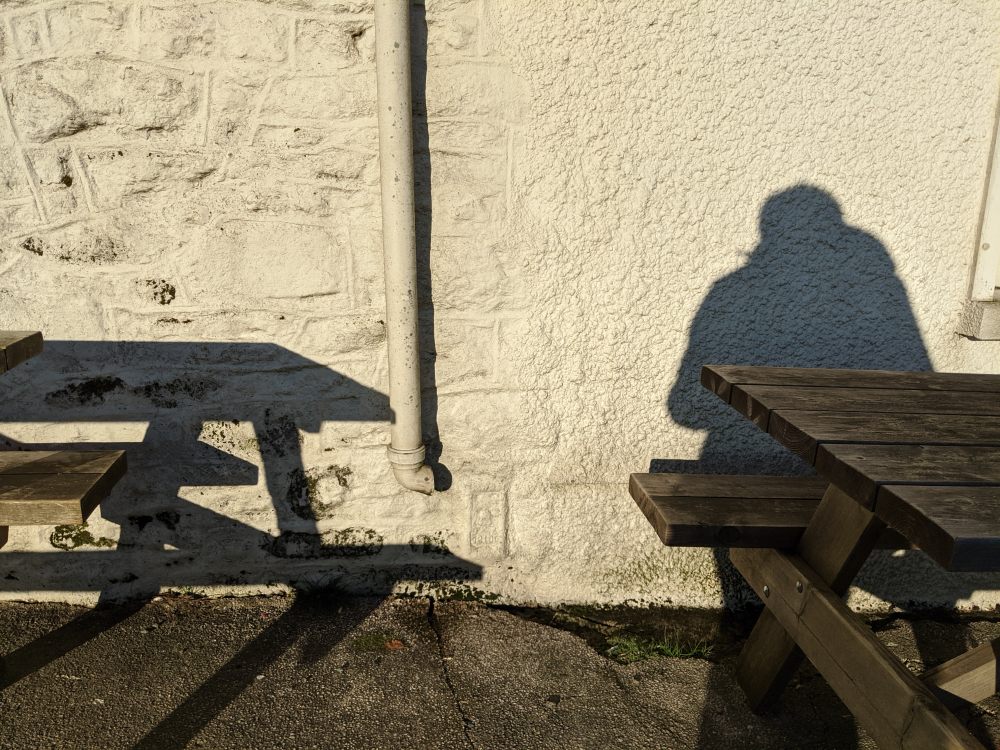
Steve Grigg tells us that this was put here in the 3rd Geodetic Levelling (1950-68). The OS Benchmark Archive dates it to 1952. Why the neighbouring flush bracket was not used remains a mystery.
This flush bracket is roughly where B.M. 1416.3 is meant to be sited, but it has not been located. It is likely that after it was cut between 1845-60 it was lost due to either rendering or the extension of the Inn, which can be seen in the photos to the right.
The map below is set to a maximum zoom of 1:50k. To zoom into the map further (1:25k) you need to be a subscriber. You can become a subscriber by visiting this page.
Or login here if you are already a subscriber.


