
 Walla Brook Grassy Footbridge
To view this item's National Grid Reference Number you need to be a subscriber. You can become a subscriber by visiting this page
Or login here if you are already a subscriber.
11 (0%) of Registered Dartefacters have visited this item. They are: Max Piper, Amanda Ellis, Sheron, haavl, Dartmoor Paul, Torbagga, BevDickinson, Fr66, Rob1985, SteveGrigg, John Deakins
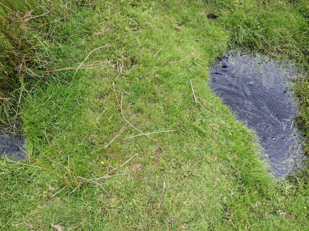
This is a strange one… OS Maps mark a footbridge (FB) here and this indeed appears to be the case, however there are two small, grassy planks (likely granite) sitting across the Walla Brook. The water is deep and this area could easily become flooded after heavy rain.

The map below is set to a maximum zoom of 1:50k. To zoom into the map further (1:25k) you need to be a subscriber. You can become a subscriber by visiting this page.
Or login here if you are already a subscriber.


