 Johnson’s Cut (Peat Pass)
To view this item's National Grid Reference Number you need to be a subscriber. You can become a subscriber by visiting this page
Or login here if you are already a subscriber.
20 (1%) of Registered Dartefacters have visited this item. They are: Neil Handley, lizmiall, Lotti, bobno, Torbagga, Steve Hill, John Deakins, Fr66, CocosCrew, tracy, SteveGrigg, Pat, Dartmoor Paul, BevDickinson, Amanda Ellis, Max Piper, Jamaine, H.Smyly, Dave Isherwood, ejt211
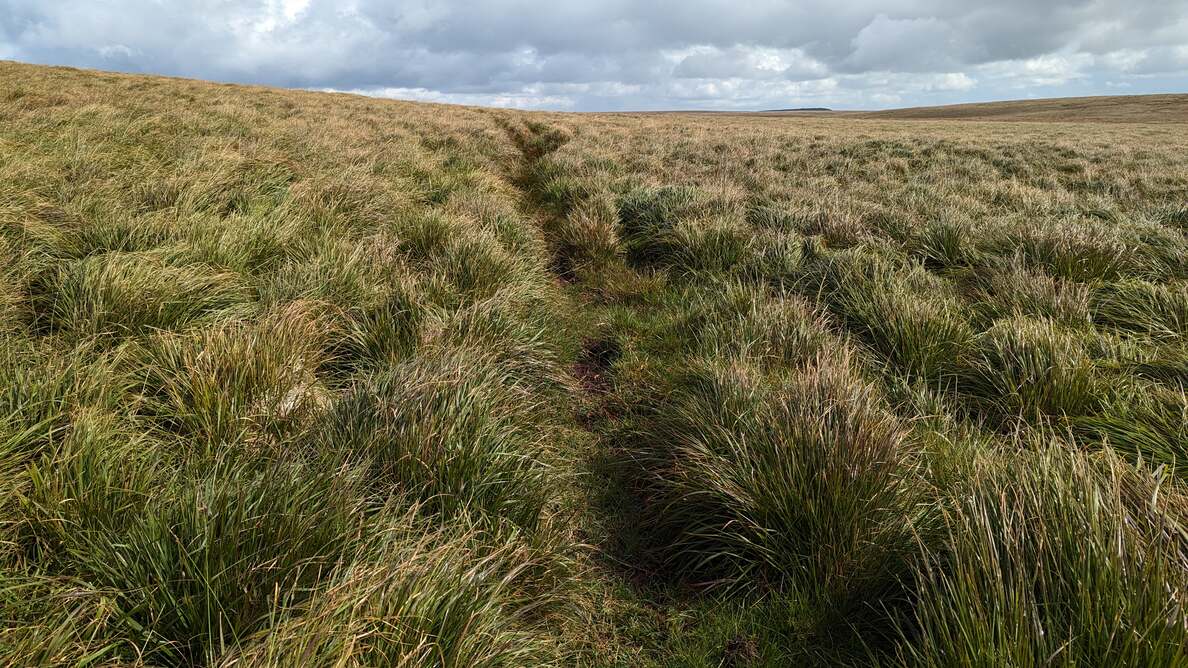
This is quite a short peat pass, known locally as Johnson’s Cut, to the south of Flat Tor on the edge of the bog. It no doubt aided (and perhaps continues to do so) the movement of animals and people between the West and East Dart.
The map below is set to a maximum zoom of 1:50k. To zoom into the map further (1:25k) you need to be a subscriber. You can become a subscriber by visiting this page.
Or login here if you are already a subscriber.


