


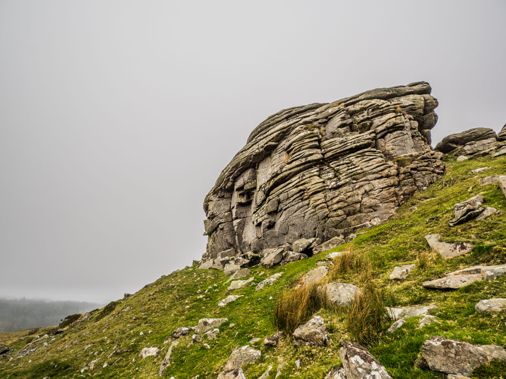
 Kestor Rock (365, F13, pg85)
To view this item's National Grid Reference Number you need to be a subscriber. You can become a subscriber by visiting this page
Or login here if you are already a subscriber.
76 (2%) of Registered Dartefacters have visited this item. They are: Dave Hamnett, Gilesey, Moreoutdoor, paul glanville, rachfarley, Baron Baskerville, Steve Davison, Richard Blight, simonb, Chris Taylor, Martin Brown, Doc985, Cvlucas, tiamaria, jeremy4444, Fidget, JennyNatureWriter, Vrokastro, Simon40, Joy Topping, Lotti, DartmoorFromAnAutisticPerspective, CocosCrew, Rayden, TavyPritch, Boosh, Leo, Wbarritt, Jbo, Smiffys1975, John Paver, dartefact, Dave Parks, Sarah Buck, Ale Drinking Wanderer, davebates, nickstreet36, Caliamble, Okehammer, John Deakins, Steve Hill, SteveGrigg, black dog, Sheron, Ollismark, Neil Handley, LaurenceVinnels, Evie and Me, haavl, bobfitzy62, Beth Robotham, Amanda Ellis, Fr66, Drinneevar, Karin B, The_greenman, Max Piper, Mike Jeffery, Peter Brooks, Hadrian, delpez, Kbworth, Mad1, mkcladi, Dartmoor Paul, Torbagga, noisemonkey, ejt211, RVC, some bloke, Pat, GlavindStrachan, Peter Caton, Clanger, WaternMan, BevDickinson
Notes: Fixed by GPS (428 m)
The map below is set to a maximum zoom of 1:50k. To zoom into the map further (1:25k) you need to be a subscriber. You can become a subscriber by visiting this page.
Or login here if you are already a subscriber.


