 Military Track Extension, South of Yes Tor
To view this item's National Grid Reference Number you need to be a subscriber. You can become a subscriber by visiting this page
Or login here if you are already a subscriber.
20 (1%) of Registered Dartefacters have visited this item. They are: bobfitzy62, SteveGrigg, John Deakins, Simon40, mkcladi, PurpleDEV1L, RVC, CocosCrew, BevDickinson, noisemonkey, Max Piper, Dartmoor Paul, Torbagga, Ale Drinking Wanderer, Neil Handley, maparle, Amanda Ellis, Sheron, Fr66, Beth Robotham
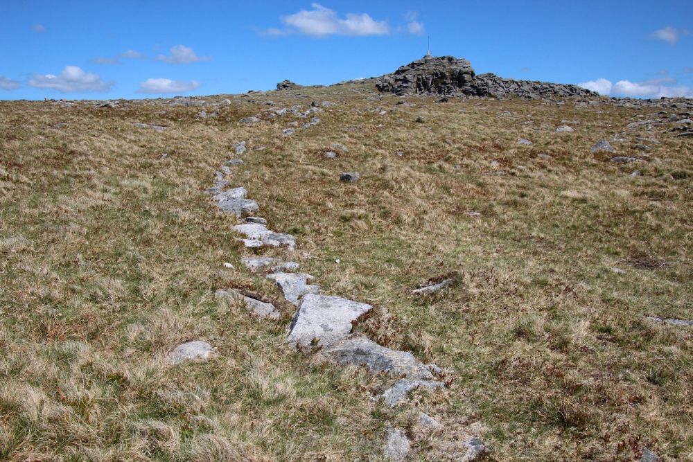
Notes: Nigel Machin made a query on Dartmoor 1044 Facebook (16th May 2020) about “a single string of rocks” to the south of Yes Tor. Colin Allen provided the answer of the stones being “an extension of the military track allowing ‘dry’ foot access to the range flagpole.”
Reference: Nigel Machin and Colin Allen, Dartmoor 1044 Facebook. Nigel also kindly supplied the Featured Image.
The map below is set to a maximum zoom of 1:50k. To zoom into the map further (1:25k) you need to be a subscriber. You can become a subscriber by visiting this page.
Or login here if you are already a subscriber.


