Military on the Moors: WWII and Minor Military Items


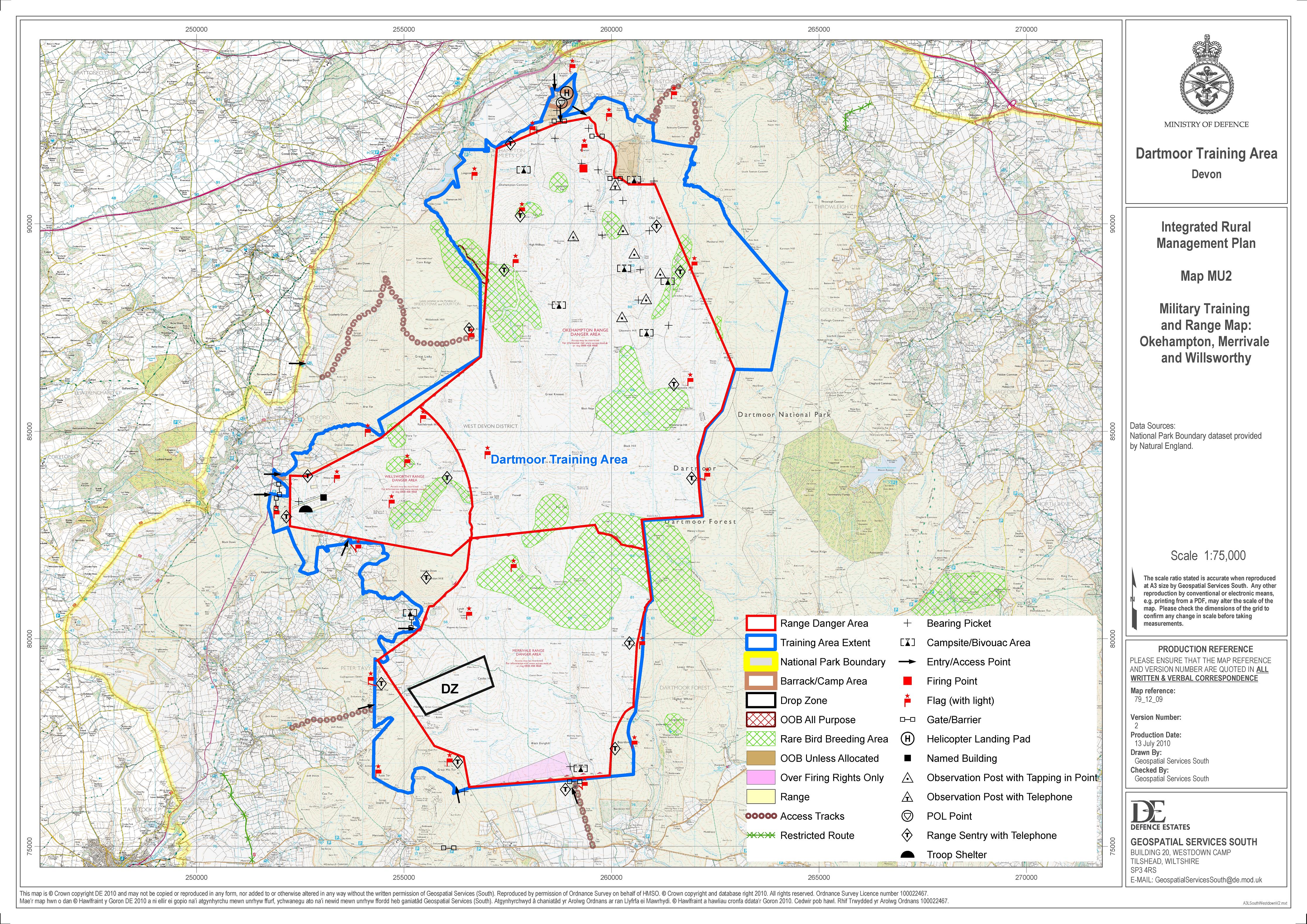
IMPORTANT SAFETY INFORMATION: The red GPX lines that have been provided to indicate the firing range boundaries are based on the Ordnance Survey Map and not on range marker post locations. Use the information provided here as a general guide only. Both the OS map and the created GPX lines will contain inaccuracies and the correct source for Dartmoor Firing Range information is here: MOD Firing Range Times & MOD Firing Range Map. The DNPA Visitor Centres also provide daily firing information.
Notes: The military have had and continue to have a lasting impact on Dartmoor. On the North Moor, the three military ranges of (in area descending order) are: Okehampton, Merrivale and Willsworthy. This remote, high open moorland provides the perfect terrain and conditions for training and live firing. On certain days of the year the ranges are closed to the public on safety grounds.
The map below is set to a maximum zoom of 1:50k. To zoom into the map further (1:25k) you need to be a subscriber. You can become a subscriber by visiting this page.
Or login here if you are already a subscriber.
Map loading...it may take a few seconds