



 Ringmoor Down
To view this item's National Grid Reference Number you need to be a subscriber. You can become a subscriber by visiting this page
Or login here if you are already a subscriber.
16 (1%) of Registered Dartefacters have visited this item. They are: Max Piper, Beth Robotham, Fr66, Amanda Ellis, Peter Caton, noisemonkey, bobfitzy62, Neil Handley, Dartmoor Paul, SteveGrigg, Torbagga, Steve Hill, John Deakins, davebates, onlyonekirbs, mkcladi
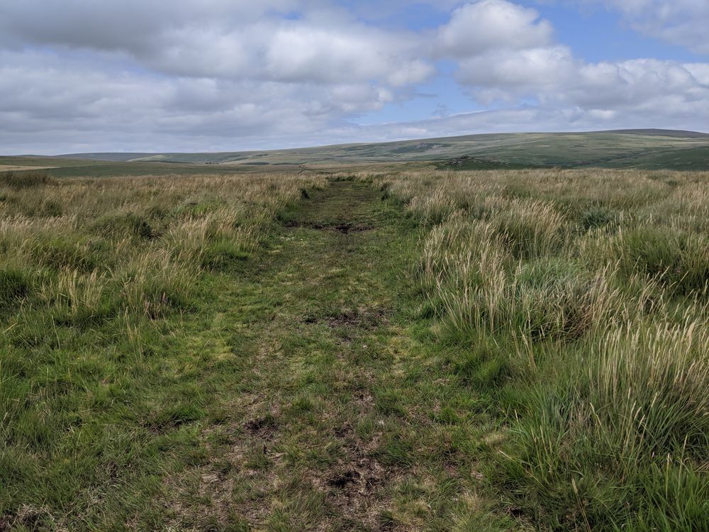
It’s very rare that I provide a location with a 4-figure NGR, but because Ringmoor Down covers such a grand area it would be unrealistic to be too specific. The Down is a wonderful place to walk; there are prehistoric remains such as a stone row, cairns, cists; but also two tors – Legis and Gutter – which afford lovely views; and also industrial remains including the tinners’ streaming by Legis Lake. Follow the numerous tracks that criss-cross the Down.
The Featured Image was taken on the south-west side of the Down, just north of Brisworthy Circle.
The map below is set to a maximum zoom of 1:50k. To zoom into the map further (1:25k) you need to be a subscriber. You can become a subscriber by visiting this page.
Or login here if you are already a subscriber.


