To view this item's National Grid Reference Number you need to be a subscriber. You can become a subscriber by visiting this page
Or login here if you are already a subscriber.
11 (0%) of Registered Dartefacters have visited this item. They are: bobfitzy62, Max Piper, Neil Handley, noisemonkey, Fidget, dartefact, BevDickinson, Torbagga, andrewm1428, Fr66, StewB

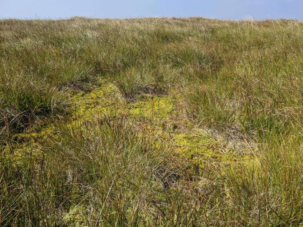
Sometimes known as Penn Moor and Shavercombe Head. This photo, taken at SX 60256 64590, is believed to be the exact 493m spot height where the OS survey was taken for the hill, which is the third highest on Dartmoor after Snowdon and Ryder’s Hill.
Most people visit this desolate location for the trig point between Langcombe Hill and Shell Top.
The map below is set to a maximum zoom of 1:50k. To zoom into the map further (1:25k) you need to be a subscriber. You can become a subscriber by visiting this page.
Or login here if you are already a subscriber.


