 Wooden Plank Bridge beside Drake’s Leat
To view this item's National Grid Reference Number you need to be a subscriber. You can become a subscriber by visiting this page
Or login here if you are already a subscriber.
13 (0%) of Registered Dartefacters have visited this item. They are: Max Piper, Neil Handley, Fr66, laurence.day, bobfitzy62, Ale Drinking Wanderer, Dartmoor Paul, CocosCrew, BevDickinson, Steve Hill, Simon40, onlyonekirbs, Fidget
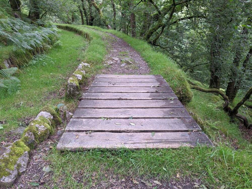
When Drake’s Leat was still running, this bridge would have spanned the overflow where excess water would have run down the hillside to reach the River Meavy. This ensured that the leat was never overflowing and flooding other areas.
The map below is set to a maximum zoom of 1:50k. To zoom into the map further (1:25k) you need to be a subscriber. You can become a subscriber by visiting this page.
Or login here if you are already a subscriber.


