To view this item's National Grid Reference Number you need to be a subscriber. You can become a subscriber by visiting this page
Or login here if you are already a subscriber.
2 (0%) of Registered Dartefacters have visited this item. They are: Max Piper, Torbagga

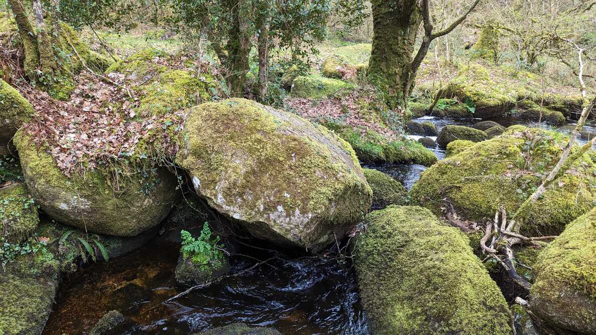
Notes: No extant stone, on Ilsington/Manaton parish bounds. Dave Brewer writes: “This section of the Becka Brook, as it is now known, below Greator Bridge is one mass of huge boulders – one assumes that this ancient marker was just another, but prominent, boulder and in 1967, at the Beating of the Parish Bounds, they were unable to identify it, and presumed that it had been washed away in the severe floods of 4 August 1938.” However, it is still marked on OS maps, and incorrectly as it should be BR for Boundary Rock.
The numbering for these Haytor and Bagtor Down boundary markers is the same as that used by Dave Brewer.
Reference:
- Brewer, D. and Brewer, K. (2002): Dartmoor Boundary Markers: And Other Markers On and Around the Moor.
Older comments:
Reference: Tom Keen, SX 75250 78640?
He is not certain if this is correct as the boulder does not have any ‘Horse Shoe’ mark on it? Although it is apparently the only prominent boulder in the area that isn’t in the nearby stream.
The map below is set to a maximum zoom of 1:50k. To zoom into the map further (1:25k) you need to be a subscriber. You can become a subscriber by visiting this page.
Or login here if you are already a subscriber.


