 Webburn Gap East
To view this item's National Grid Reference Number you need to be a subscriber. You can become a subscriber by visiting this page
Or login here if you are already a subscriber.
7 (0%) of Registered Dartefacters have visited this item. They are: Sheron, Max Piper, Beth Robotham, Dartmoor Paul, Fr66, Fidget, Chris Taylor
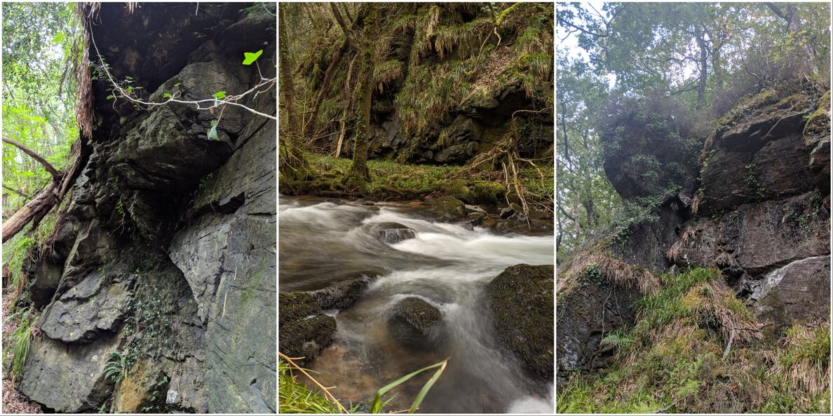
Given the name of ‘Webburn Gap East’ on Tors of Dartmoor, this gem of a crag abuts the swirling waters of the River Webburn in a deep, dark gorge where vegetation flourishes. A scene of sylvan beauty, reaching this spot can be challenging and is not recommended due to the ill-defined paths and rocky and unstable terrain. If you make your day down to Webburn Gap West from Blackadon Down, which is public land, you can view the East outcrop from across the river. Do not visit after heavy rainfall (even in summer the rocks can be slippery).
This east side of the river is PRIVATE LAND; to visit you can obtain a walking permit from Fountains Forestry.
The map below is set to a maximum zoom of 1:50k. To zoom into the map further (1:25k) you need to be a subscriber. You can become a subscriber by visiting this page.
Or login here if you are already a subscriber.


