



 White Moor Stone Menhir, Throwleigh/ South Tawton/ Forest – BS
To view this item's National Grid Reference Number you need to be a subscriber. You can become a subscriber by visiting this page
Or login here if you are already a subscriber.
40 (1%) of Registered Dartefacters have visited this item. They are: Cbdarke, dartefact, CocosCrew, DartmoorFromAnAutisticPerspective, Joy Topping, Martin Brown, jeremy4444, Torbagga, PurpleDEV1L, John Deakins, Lotti, Sarah Buck, Gribbin, Okehammer, Wbarritt, GlavindStrachan, Leo, GDDean, nickstreet36, David Hocking, Pat, Max Piper, Amanda Ellis, haavl, SteveGrigg, Fr66, noisemonkey, John Paver, Fidget, Sheron, The_greenman, Clanger, Neil Handley, Hadrian, bobfitzy62, BevDickinson, Dartmoor Paul, mkcladi, H.Smyly, ejt211
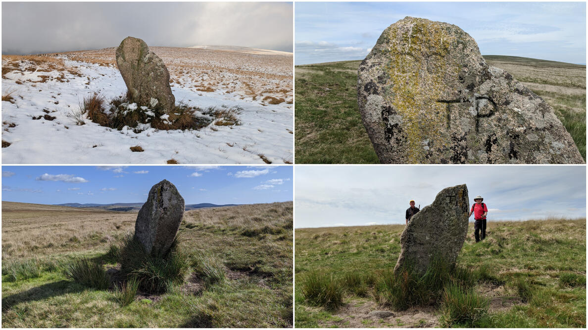
Notes: This is a grand boundary marker and ancient menhir inscribed ‘TP’ for Throwleigh Parish, ‘DC’ for Duchy of Cornwall and two other ‘Ts’. It stands to the south-east of the celebrated Whitmoor Stone Circle.
The map below is set to a maximum zoom of 1:50k. To zoom into the map further (1:25k) you need to be a subscriber. You can become a subscriber by visiting this page.
Or login here if you are already a subscriber.


