


 Kennon Hill Reported Stone Circle (Spencer/ Hemery/ Cunis)
To view this item's National Grid Reference Number you need to be a subscriber. You can become a subscriber by visiting this page
Or login here if you are already a subscriber.
7 (0%) of Registered Dartefacters have visited this item. They are: dartefact, Max Piper, Dartmoor Paul, Hadrian, Neil Handley, Amanda Ellis, John Paver
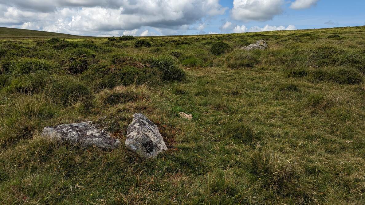
Possible stone circle and stone row, noted by Emma Cunis, recorded previously by Eric Hemery in High Dartmoor via the ‘Spencer maps’.
From an article in Dartmoor Magazine.
Visited by Emma and Andy Crabb (DNPA Archaeology Dept.) in Dec. 2020.
NGR via HER record
LIDAR – but not much to see.
The map below is set to a maximum zoom of 1:50k. To zoom into the map further (1:25k) you need to be a subscriber. You can become a subscriber by visiting this page.
Or login here if you are already a subscriber.


