To view this item's National Grid Reference Number you need to be a subscriber. You can become a subscriber by visiting this page
Or login here if you are already a subscriber.
14 (0%) of Registered Dartefacters have visited this item. They are: Sheron, Max Piper, Peter Brooks, SteveGrigg, Amanda Ellis, bobfitzy62, Torbagga, Pat, noisemonkey, Sarah Buck, Bridgemarker Tim, Fr66, Joy Topping, Dartmoor Paul

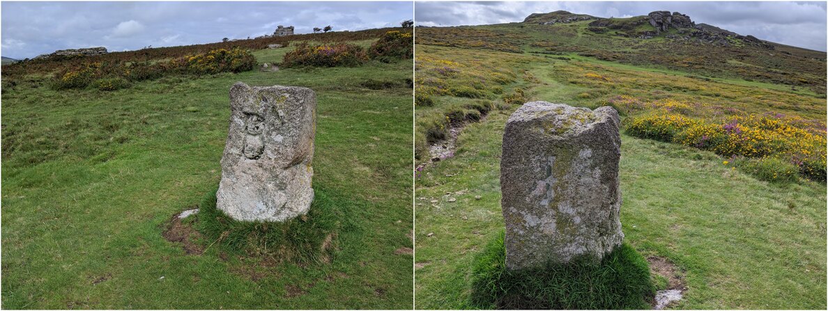
Notes: ‘B’ for Bagtor (on the south side) and ‘I’ for Ilsington (on the north side). Described by Brewer as an unnamed set boundstone, but as it is near the outcrop called Fitches’ Holt we have applied the name here.
References:
- Brewer, D. and Brewer, K. (2002): Dartmoor Boundary Markers: And Other Markers On and Around the Moor.
- Grigg, S. (2020): Dartmoor Explorations
The map below is set to a maximum zoom of 1:50k. To zoom into the map further (1:25k) you need to be a subscriber. You can become a subscriber by visiting this page.
Or login here if you are already a subscriber.

 Fitches’ Holt Bound Stone, No.22 in series


