 Harford/ Ugborough – BS No.63
To view this item's National Grid Reference Number you need to be a subscriber. You can become a subscriber by visiting this page
Or login here if you are already a subscriber.
7 (0%) of Registered Dartefacters have visited this item. They are: Max Piper, noisemonkey, Dartmoor Paul, SteveGrigg, Fr66, John Deakins, StewB
This Dartefact is visited by the following walks:- The Ugborough Moorland Boundary Markers , km, m ascent
- The Harford Moorland Boundary Markers , km, m ascent
 Into the South Moor along Parish Boundaries and Rivers , km, m ascent
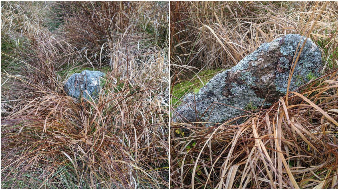
Notes: The post is not leaning, it is just triangular in shape which makes it look like it’s leaning! Quite stumpy and hard to locate even with an accurate NGR.
The map below is set to a maximum zoom of 1:50k. To zoom into the map further (1:25k) you need to be a subscriber. You can become a subscriber by visiting this page.
Or login here if you are already a subscriber.
Map loading...it may take a few seconds


