



 Harford/ Ugborough – BS No.57
To view this item's National Grid Reference Number you need to be a subscriber. You can become a subscriber by visiting this page
Or login here if you are already a subscriber.
7 (0%) of Registered Dartefacters have visited this item. They are: Max Piper, noisemonkey, Dartmoor Paul, SteveGrigg, Fr66, John Deakins, StewB
This Dartefact is visited by the following walks:- The Ugborough Moorland Boundary Markers , km, m ascent
- The Harford Moorland Boundary Markers , km, m ascent
 Into the South Moor along Parish Boundaries and Rivers , km, m ascent
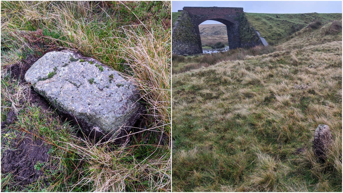
Notes: This boundstone and its close neighbour are a bit of a mystery because although there are some low rocks here none are particularly significant. At the NGR there is a loose rock that, when stood up, does resemble a boundstone and with the Left Lake China Clay Works being so close it may have been removed/repositioned.
Steve Grigg (2022) writes: “Shown on side-by-side (1873 map) as south of Leftlake (stream). Lots of 20th century clay workings so I conclude the BS was swallowed up. The Dartefacts labelled No57 is really just a small rock in my humble opinion and whose size and shape is out of keeping with all the other BSs.”
This was before the visit by Max Piper and Paul Rendell in November 2020. The industry here totally changed the landscape and it is difficult knowing what hasn’t been touched. (MP)
The map below is set to a maximum zoom of 1:50k. To zoom into the map further (1:25k) you need to be a subscriber. You can become a subscriber by visiting this page.
Or login here if you are already a subscriber.


