



 Ash House, Higher Mardon
To view this item's National Grid Reference Number you need to be a subscriber. You can become a subscriber by visiting this page
Or login here if you are already a subscriber.
6 (0%) of Registered Dartefacters have visited this item. They are: Max Piper, Dartmoor Paul, bobfitzy62, Fr66, Amanda Ellis, nickstreet36
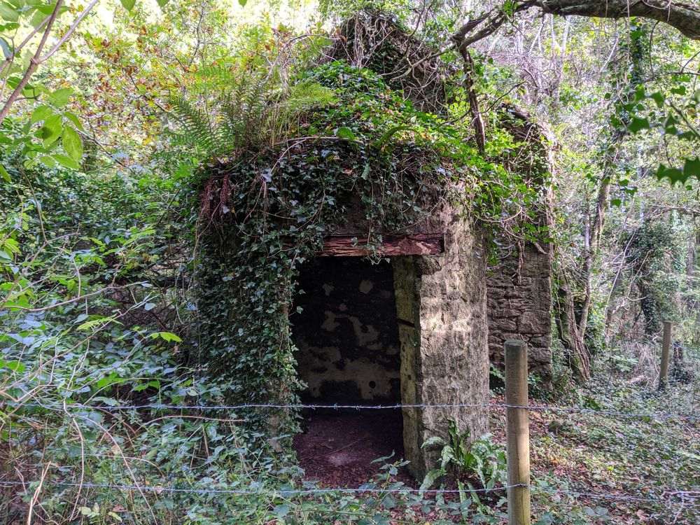
Heritage Gateway (HER) records details about Higher Mardon, including its fine ash house, which is described; “Appears to date to the later 19th century (not shown on the Tithe Map), this structure was described in 1994 survey as having been recently white-washed.” The ruins likely became redundant and uninhabited during the construction of Trenchford Reservoir which completed in 1907.
A permissive path runs close to the ruins that are fenced off for public safety and this ash house is a neat example to be found very close to that path. Sadly, as at March 2023, the landowner has closed this access.

The map below is set to a maximum zoom of 1:50k. To zoom into the map further (1:25k) you need to be a subscriber. You can become a subscriber by visiting this page.
Or login here if you are already a subscriber.


