


 Higher Mardon
To view this item's National Grid Reference Number you need to be a subscriber. You can become a subscriber by visiting this page
Or login here if you are already a subscriber.
7 (0%) of Registered Dartefacters have visited this item. They are: Max Piper, noisemonkey, bobfitzy62, Dartmoor Paul, Amanda Ellis, nickstreet36, Pixiefriend

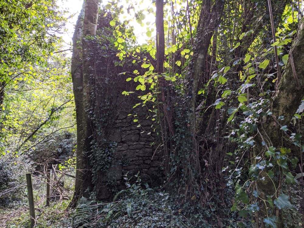
These fine ruins are mentioned on Heritage Gateway (HER); “Deserted farmstead shown on 19th century maps also recorded as ‘Mardon’, ‘Maredon’ and ‘Merdon’ in 16th century. The farm appears to have remained in use until the late 19th century, until the building of Trenchford Reservoir in the very early 20th century.“
The old road from Kennick to Poolmill Cross once passed both Higher Mardon and its accompanying, though barely there ruin of, Lower Mardon. The mid section of this road has been left in the hands of the plantation and, further down the hill, the waters of the reservoir. It is rather poignant to walk around the north edge of the reservoir and take notice of the course of the old road descending to what was once a bridge over the stream in the flooded valley. It is partially traceable thanks to a splendid row of trees that stud the west hedge.
A permissive path runs close to the ruins that are fenced off for public safety. There are some interesting remains of machinery littered about the ruins, a rusty wheel of which lies just outside of the fenced-off area. Sadly, as at March 2023, the landowner has closed this access.
The map below is set to a maximum zoom of 1:50k. To zoom into the map further (1:25k) you need to be a subscriber. You can become a subscriber by visiting this page.
Or login here if you are already a subscriber.


