To view this item's National Grid Reference Number you need to be a subscriber. You can become a subscriber by visiting this page
Or login here if you are already a subscriber.
4 (0%) of Registered Dartefacters have visited this item. They are: Max Piper, Sheron, Torbagga, Mike Jeffery

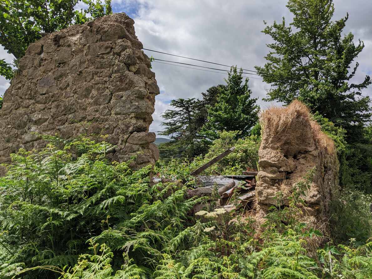
This ruined building forces the A382 to narrow into a single-file road at a corner.
“Barn dates to at least the 19th century, based on cartographic evidence. Possibly depicted on the 1840s Tithe Map, although missed off the early 20th century historic map. Dilapidated condition in 2011.”
Reference:
- Dartmoor HER
The map below is set to a maximum zoom of 1:50k. To zoom into the map further (1:25k) you need to be a subscriber. You can become a subscriber by visiting this page.
Or login here if you are already a subscriber.

 Ruin at Kelly


