
 Stowford Bridge (365, X11, pg374)
To view this item's National Grid Reference Number you need to be a subscriber. You can become a subscriber by visiting this page
Or login here if you are already a subscriber.
48 (2%) of Registered Dartefacters have visited this item. They are: Dave Hamnett, rachfarley, Neil Armstrong, Moreoutdoor, Baron Baskerville, Dartmoor Paul, Steve Hill, cburridgebarney, Paulmilsom, noisemonkey, ChrisHaigh1206, CocosCrew, Clanger, Richard Blight, Ecky, Joy Topping, weelassie, Chris Taylor, JennyNatureWriter, jeremy4444, Cvlucas, Lynn Miller, Doc985, bobfitzy62, simonb, Sarah Buck, Sheron, Jannergirl, Peter Brooks, Karin B, Max Piper, Anne17, MusicalRambler, SteveGrigg, Fr66, Tracey Kirkby, Ollismark, Torbagga, Amanda Ellis, BevDickinson, Jamaine, Fidget, Neil Handley, delpez, Hadrian, Peter Caton, ejt211, Pat
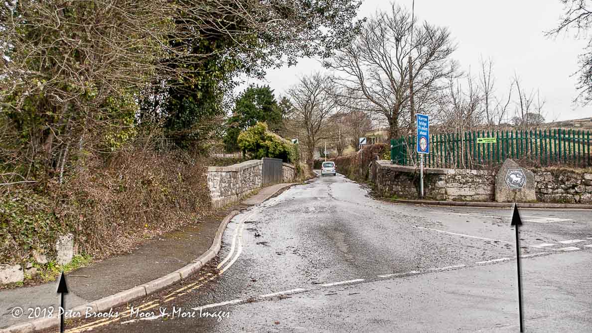
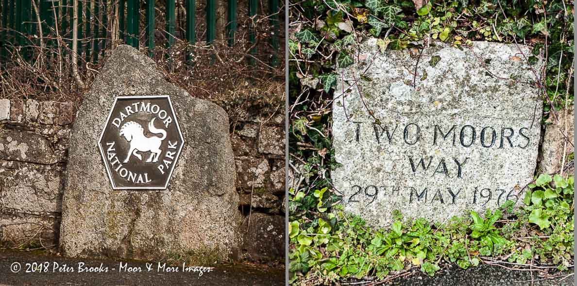
Below are two interesting stones on the approach to Stowford Bridge; a Dartmoor National Park boundary marker and a Two Moors Way marker stone.
There is also a faint Ordnance Survey benchmark on the bridge parapet, but good luck finding that!
The map below is set to a maximum zoom of 1:50k. To zoom into the map further (1:25k) you need to be a subscriber. You can become a subscriber by visiting this page.
Or login here if you are already a subscriber.


