To view this item's National Grid Reference Number you need to be a subscriber. You can become a subscriber by visiting this page
Or login here if you are already a subscriber.
1 (0%) of Registered Dartefacters have visited this item. They are: Max Piper

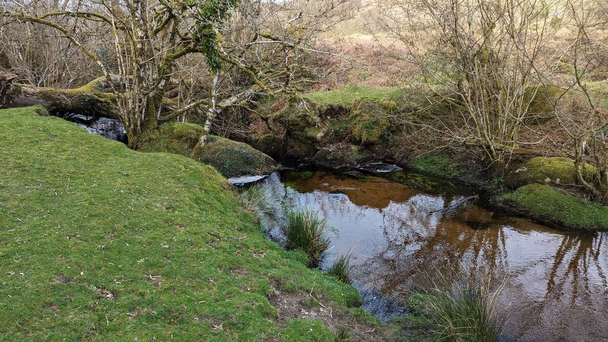
Notes: This was once known as Holwell Bridge although that name today applies to the modern 2014 footbridge over the Becka Brook downstream.
On Ilsington/Manaton parish bounds. Dave Brewer advises that this is not a boundary stone as such, but was nevertheless an important point. The clapper has collapsed into the water.
The numbering for these Haytor and Bagtor Down boundary markers is the same as that used by Dave Brewer.
References:
- Brewer, D. and Brewer, K. (2002): Dartmoor Boundary Markers: And Other Markers On and Around the Moor.
- Grigg, S. (2020): Dartmoor Explorations
The map below is set to a maximum zoom of 1:50k. To zoom into the map further (1:25k) you need to be a subscriber. You can become a subscriber by visiting this page.
Or login here if you are already a subscriber.


