


 Yellowmeade Leat Junction
To view this item's National Grid Reference Number you need to be a subscriber. You can become a subscriber by visiting this page
Or login here if you are already a subscriber.
13 (0%) of Registered Dartefacters have visited this item. They are: Peter Brooks, Max Piper, Amanda Ellis, PurpleDEV1L, bobfitzy62, mkcladi, SteveGrigg, Neil Handley, Fidget, Joy Topping, Mike Jeffery, Dartmoor Paul, Leo
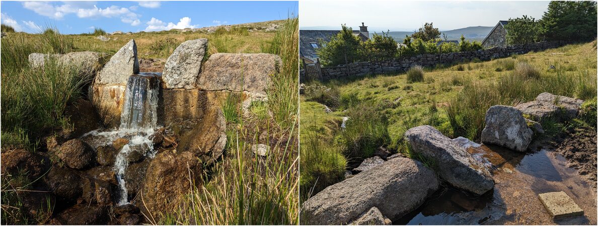
This is where the Yellowmeade Leat, which has taken water from Mistor Marsh, the head of the Pila Brook, takes water from the main leat down another channel to Yellowmeade Farm. To the south of this leat junction the leat is dry and not clearly defined as it approaches the Foggintor ruins.
Further Reading:
- Hemery, E. (1983): High Dartmoor – Land and People
The map below is set to a maximum zoom of 1:50k. To zoom into the map further (1:25k) you need to be a subscriber. You can become a subscriber by visiting this page.
Or login here if you are already a subscriber.


