


 Statt’s House (365, H10, pg124)
To view this item's National Grid Reference Number you need to be a subscriber. You can become a subscriber by visiting this page
Or login here if you are already a subscriber.
60 (2%) of Registered Dartefacters have visited this item. They are: Moreoutdoor, rachfarley, Bob Davy, Cbdarke, Baron Baskerville, paul glanville, simonb, Clanger, jeremy4444, JennyNatureWriter, Simon40, mkcladi, joCam, Richard Blight, Lotti, CocosCrew, ejt211, delpez, Kbworth, rufusoh, Steve Davison, MegMog, Martin Brown, Sarah Buck, John Deakins, Okehammer, nickstreet36, davebates, Gribbin, John Paver, KirstieDeanwithMdeB, Wbarritt, Joy Topping, Fidget, The_greenman, mshere, Tinroofrusty, tiamaria, Peter Brooks, Karin B, Drinneevar, Amanda Ellis, SteveGrigg, Fr66, bobfitzy62, haavl, Anne17, Dartmoor Paul, LaurenceVinnels, steve bramwell, Ollismark, Sheron, dartefact, BevDickinson, Jamaine, Neil Handley, Max Piper, Hadrian, Torbagga, Pat
This Dartefact is visited by the following walks:- North South Route, No.1, Belstone to Ivybridge , km, m ascent
- The Dartmoor Sun Circle Walk , km, m ascent
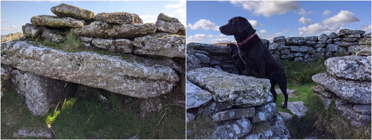
Description: This is a ruined post-medieval peat cutter’s shelter on Stats House Hill. Stats House is the spelling used by Hemery, and the one given to the hilltop. The lintel above the fireplace still remains in situ.
The map below is set to a maximum zoom of 1:50k. To zoom into the map further (1:25k) you need to be a subscriber. You can become a subscriber by visiting this page.
Or login here if you are already a subscriber.


